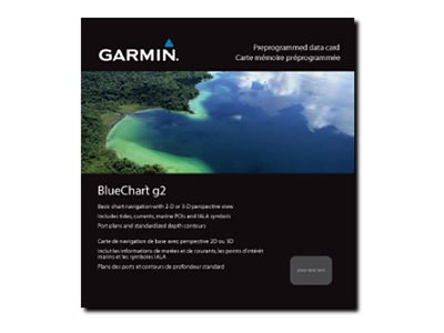
Garmin BlueChart g2 HEU060R- Germany Inland Waters
GPS-programvara
Beställningsvara
Tillverkare Garmin
Artikelnr 010-C1103-20 Kopierat
- 3 271 SEK
- Information
- Shaded depth contors, coastlines, spot soundings, navaids, port plans, wrecks, obstructions, intertidal zones, restricted areas and IALA symbols
- Seamless transitions between zoom levels and more continuity across chart boundaries
- Standard 2-D direct overhead or 3-D ""over the bow"" map perspective for easy chart reading and orientation
- Fishing Charts to scope out bottom contors and depth soundings with less visual clutter on the display
- Plan and organize routes from your computer with HomePort
- Specifikation
- Utökad specifikation
- Nedladdningsbara filer